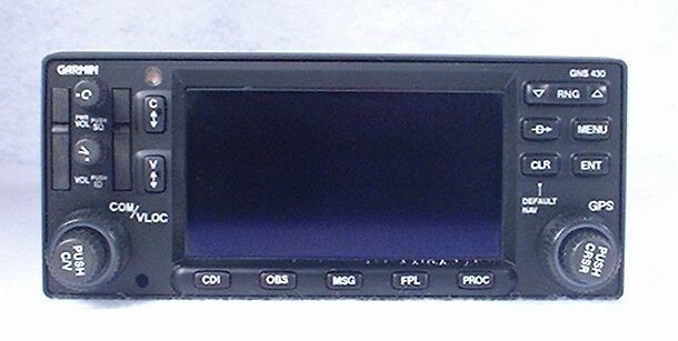
Garmin GNS-430 IFR GPS / NAV / COMM / MFD / Moving Map / Glideslope
AMERICA North (USA-Canada-Mexico)
It's not a stretch to say that Garmin's GNS-430 has revolutionized general aviation avionics. It combines a variety of avionics capabilities with the power of modern computers, to provide both sophistication and ease of use.
The GNS-430 contains and integrates the following functions:
IFR GPS
Jeppesen database
COMM
VOR/LOC
Glideslope
Moving Map / MFD
In addition to the color map, the GNS-430 can also display lightning data from a remote WX-500 Stormscope, weather data received via satellite, and traffic from a GTX-330 Mode S transponder.
Garmin also protects the GNS-430 from future obsolescence, with an available WAAS upgrade.

